GEOFISHING TECHNOLOGY / PROJECTS

Our projects

Discover Geofishing’s development work, experiments and completed initiatives. Each project contributes to clearer water information, practical tools and nature protection.

Explore projects

COMPLETED · ONGOING · IN DEVELOPMENT

Project overview

6 projects
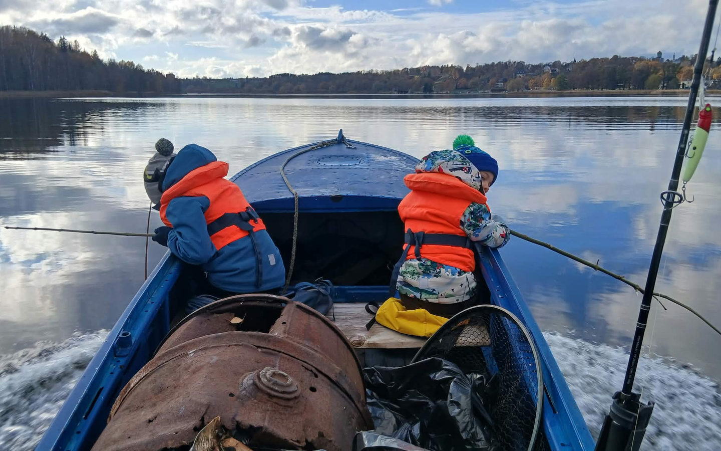
Photo from the Geofishing cleanup on Lake Viljandi, 24 October 2026
01 NATURE PROTECTION

Viiratsi landing-site cleanup at Lake Viljandi

On 24 October 2026 Geofishing organized a cleanup at the Viiratsi landing area, collecting litter from the shore and water while involving young participants in hands-on nature care.

COMPLETED
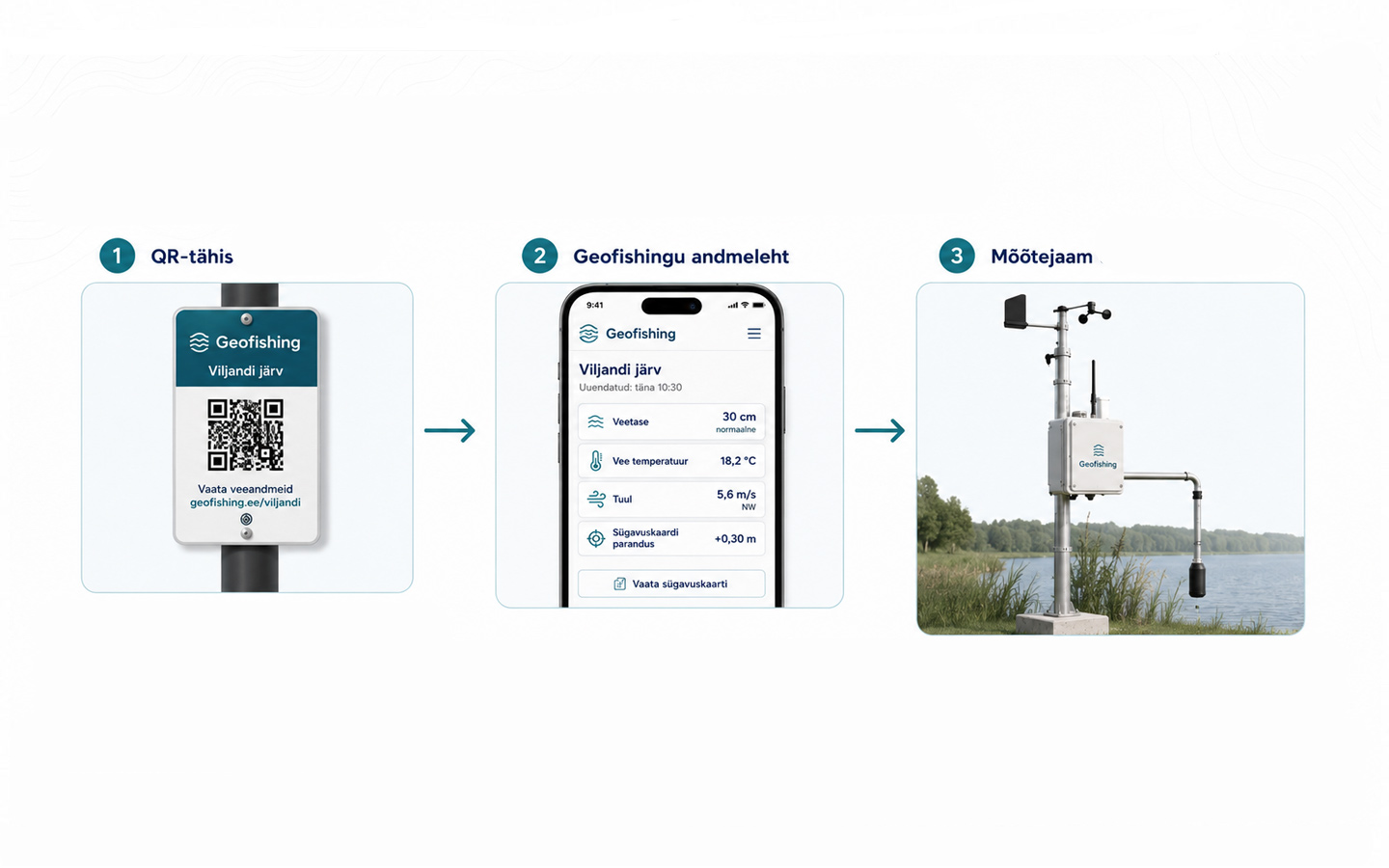
Geofishing visual concept drawing of the proposed T-shaped pier at Lake Viljandi
02 PILOT PROJECT

Lake Viljandi monitoring and nature education pilot

A proposed T-shaped public floating pier and monitoring station bringing together water-level information, depth maps, recreational fishing and hands-on nature education. Explore the 19-event timeline.

PENDING
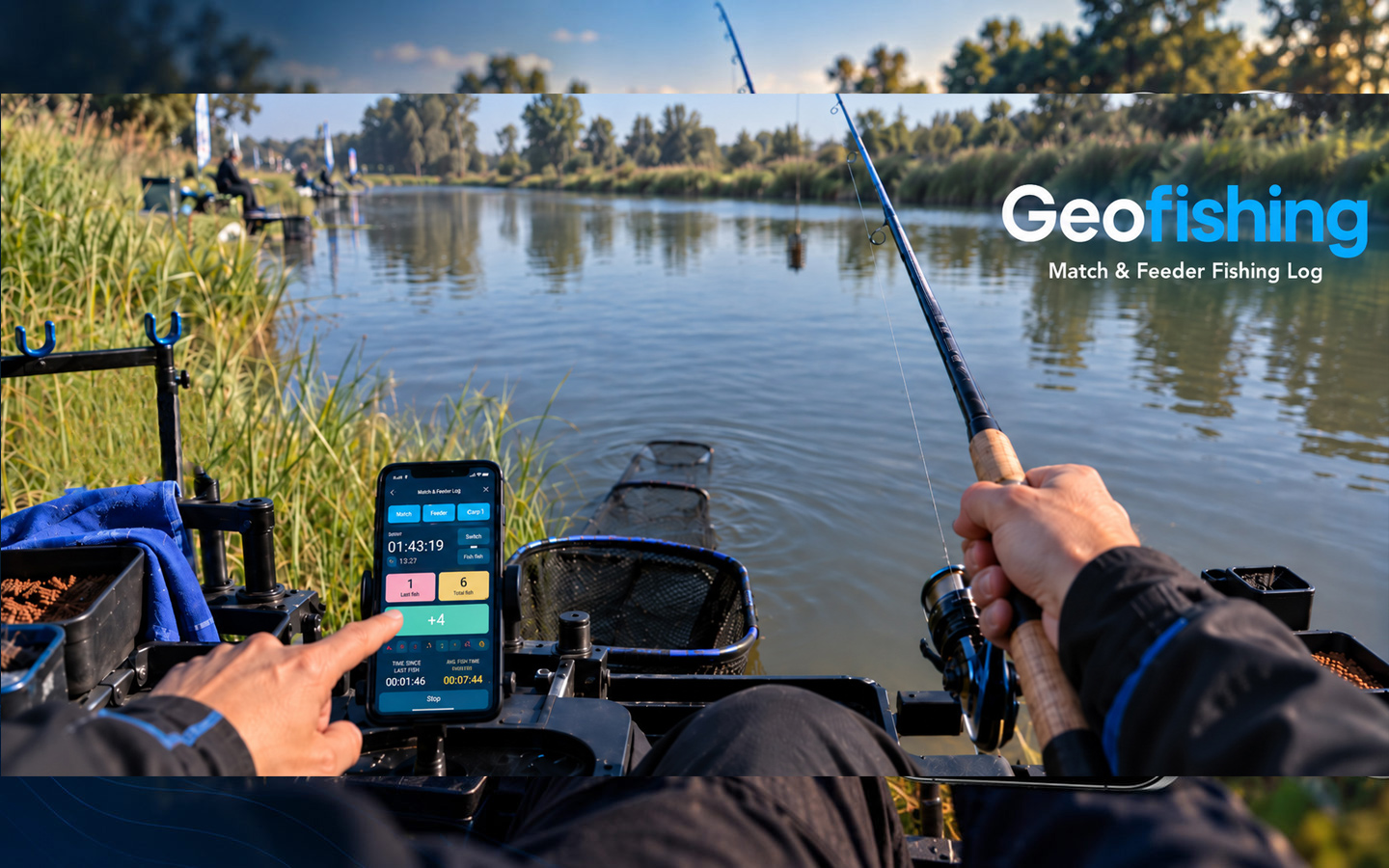
Illustrative STEM app showcase in a fishing setting
03 FISHING TECHNOLOGY

STEM – Match & Feeder Log

A digital fishing companion for catch logs, rods and distances, fishing events and analysis of recorded data. Development focuses on practical usability and reliability.

READY · AWAITING GOOGLE APPROVAL
Illustrative boat-rental platform graphic showing a boat on a lake, not a screenshot
04 BOAT RENTAL

Geofishing boat-rental platform

A boat-rental platform designed to connect boat owners with people looking for a boat. Rental enquiries, contact workflows and the mobile experience still need final checks before full launch.

IN FINAL TESTING
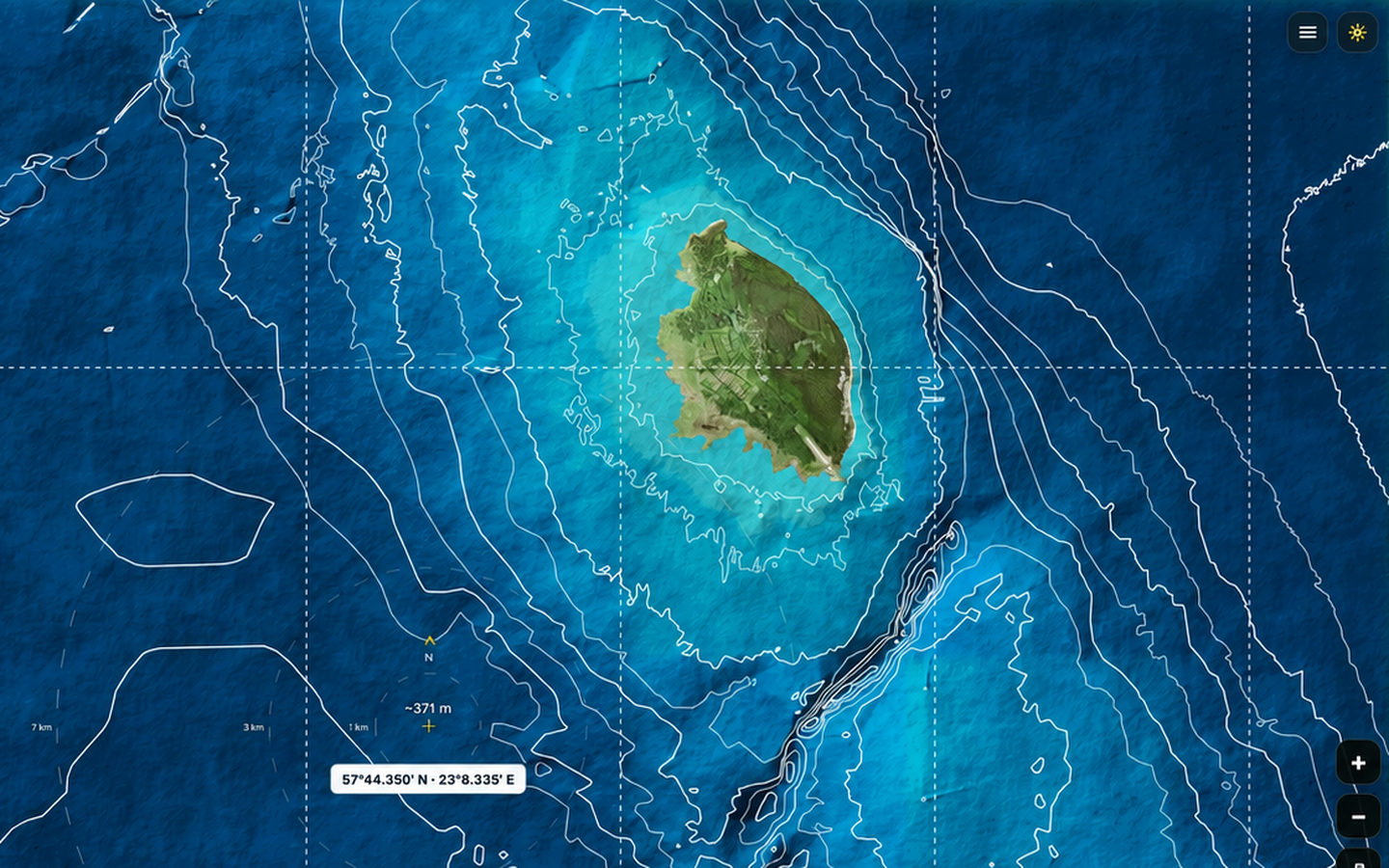
Geofishing marine map development view showing seabed relief near Ruhnu
05 MARINE MAPS

Estonian marine depth charts

Geofishing is developing readable marine bathymetry maps highlighting depth contours, slopes, shoals and other seabed forms in a modern map view.

IN CONTINUOUS DEVELOPMENT
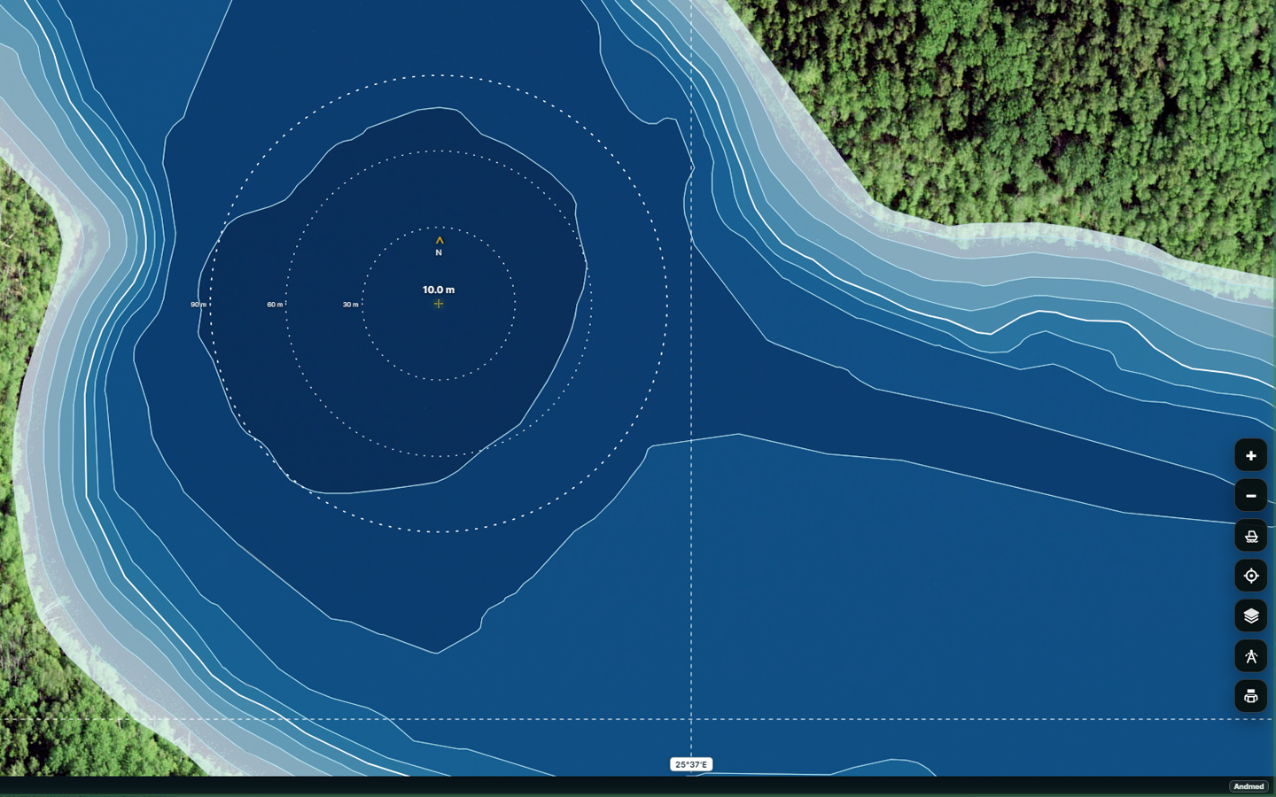
Geofishing inland-water map showing shoreline and depth contours
06 LAKES AND RIVERS

Estonian inland-water depth maps

Bringing depth data, changing water levels and practical information about lakes and rivers together in a clear, useful map interface.

IN CONTINUOUS DEVELOPMENT

COOPERATION

Want to learn more?

Projects are led by Põhjareljeef OÜ / Geofishing Technology. Questions and partnership ideas are welcome.

info@geofishing.ee