

First outreach and finding contacts
The initiator contacted the city to introduce the monitoring station concept and identify the appropriate contact.
Follow the complexity of this project and its cooperation with partners and supporters. The timeline shows the most important events, preparations and next steps. The proposed public monitoring pier by Geofishing is intended as a practical outdoor-learning site for young people and recreational anglers in Viljandi.
The initiator contacted the city to introduce the monitoring station concept and identify the appropriate contact.

Geofishing presented the full pilot-project concept, including the proposal to build a floating pier next to the rowing base, in a meeting with Viljandi Mayor Jaak Pihlak, Deputy Mayor Silvia Takkel and Henri Kaselo. The city representatives welcomed the idea and promised to support the administrative process and provide a letter of support. They also recommended coordinating the proposed location with the Environmental Board, which Geofishing contacted that same day.

Geofishing contacted the Environmental Board the same day. A reply arrived on 29 June 2026 (ref. 7-9/26/11179-2). Site, access and environmental conditions were later examined.

Geofishing approached Viljandi Rotary Club about possible support, collaboration and introductions.

The Environmental Board responded by letter 7-9/26/11179-2. The project continued addressing location, access and environmental details; further requirements were discussed.

The city issued support letter 13-6/26/1980-2, signed by Mayor Jaak Pihlak, noting environmental data and education. The full substantive text of the letter is available below under Key materials.

Geofishing discussed the planned pier solution, its purpose and benefits, and the transfer of used floating-pier frames with the city government.

Used floating-pier frames were inspected. The proposed T-shaped layout was approximately 27.7 metres long.

The city confirmed in writing that five used floating-pier frames could be provided. Following discussions, Geofishing was directed to collect the frames from Viljandi Linnahooldus. At collection, the transfer and acceptance record was not signed. Geofishing had prepared for collection and wrote back to the city government seeking a resolution.

During formal transfer preparations the city informed Geofishing the frames would instead be used for public municipal piers. This required reworking materials, the schedule and technical design. The project continued.

The Board was unaware of competing projects for this site or obvious exclusion grounds based on information available. Its final assessment depends on official procedures.

Geofishing wrote to the city requesting clarification. Mayor Jaak Pihlak asked whether the discussion should be formally recorded; Geofishing requested that it be recorded.

The city directed Geofishing to proceed with a land-use application through SPOKU and confirmed that the frames were unavailable and that no formal minutes would be prepared. Geofishing was referred to a landscaping specialist to coordinate the previously discussed site. The city also offered another support letter.

Geofishing sent a detailed project overview and timeline to council members and asked for their support.

For the Geofishing Technology pilot project at Lake Viljandi, an application for free use of land and water was submitted through SPOKU in the name of Põhjareljeef OÜ, together with the floating pier site plans and technical appendices. Põhjareljeef OÜ is the official applicant, while Geofishing Technology is the public-facing project name. The city confirmed that the application had been referred for processing. A substantive decision is still pending.

The council specialist confirmed circulation to members and referral to the Budget, Development and Economy Committee. No decision has yet been made.

The committee meeting is planned for 18 November 2026; whether the project is on the agenda remains unconfirmed.

A council meeting is scheduled. It has not been confirmed that the Geofishing project will be discussed.

The Budget, Development and Economy Committee is scheduled to meet on 18 November. The project’s inclusion on the agenda is not confirmed.
All 19 events are on the timeline. Select an event to see the details.
All 19 events and their full descriptions are visible in the timeline.
The monitoring station and pier aim to improve lake information, nature education and public access.
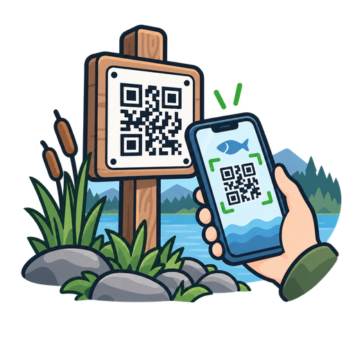
A proposed QR sign will open the lake’s water-level and environmental data. Concept visual.
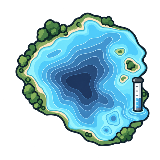
The goal is to relate mapped depths to current water-level observations.
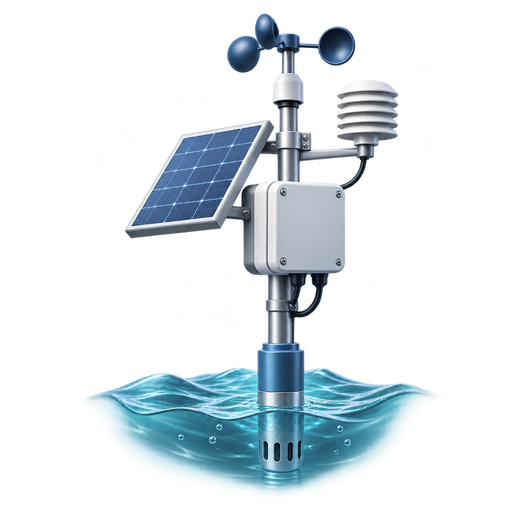
The concept includes water level, water temperature and wind data. Illustrated design, not installed equipment.
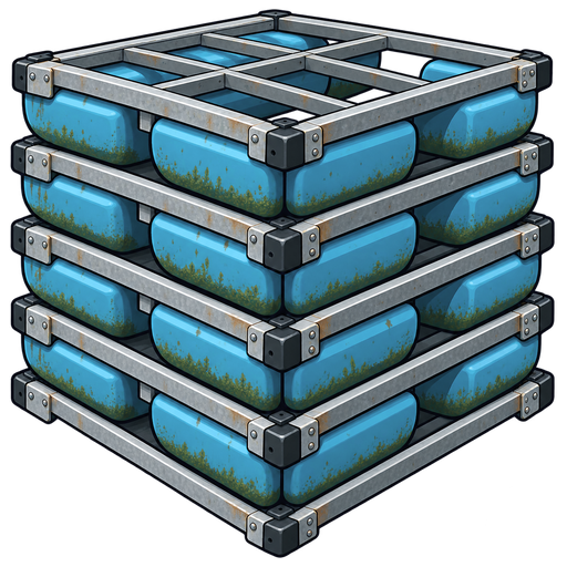
A proposed 27.7 m T-shaped pier for fishing, education and station maintenance. Illustration of the proposed layout.
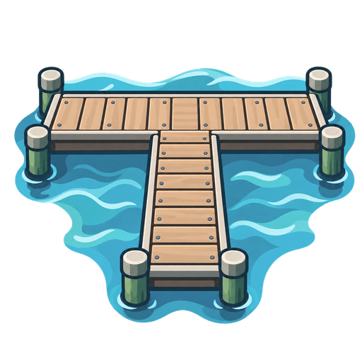
The city discussed transferring five used frames (6 × 1.5 × 0.4 m).
Open each document or drawing in a larger on-page preview.