
Scientifically grounded
We present research data with clear authorship and source references, while connecting it to modern location-aware tools.
Geofishing combines science, technology and nature education to provide precise waterbody information, location-aware tools and field-verified practical data.
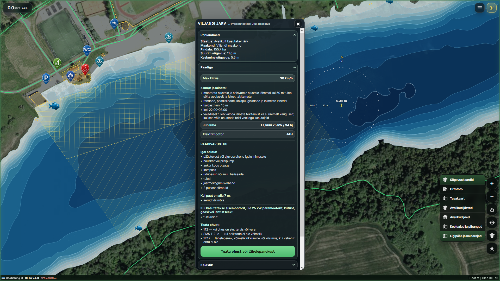
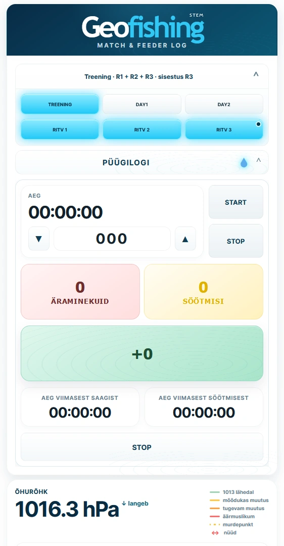
We present research data with clear authorship and source references, while connecting it to modern location-aware tools.
The BETA map, STEM app and boat-rental platform make discovering and using waterbodies easier, safer and more informative.
Learning materials and developing STEM tools support nature education from primary school foundations to advanced analysis.
Support helps build the live map, verify reference levels and depths, and add field-checked practical information.
New
Explore lake science, bathymetry, nature, learning material and Geofishing’s location-aware development work.
Open Ruhijärv page
Connecting the world of water
One system for anglers, boat users, teachers, learners and waterbody communities — combining scientific sources with practical location-aware tools.